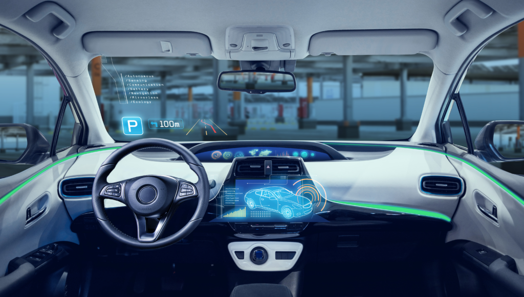
Parking database developer Parkopedia has launched the production version of its indoor mapping technology for in-vehicle navigation use. It explains that the maps are based on high-definition 3D models of indoor parking facilities, where GPS signal is typically restricted.
Indoor parking facilities currently present many challenges for drivers, including navigation system blackouts, finding a vehicle within large parking facilities, and locating services such as EV charging stations. According to the company, its system can be used in a variety of ways to mitigate these issues, including indoor navigation where GPS is not available, location of vehicles in parking garages and the development of automated valet systems.
The company specifically highlights that EV chargers are often hidden away in remote areas of parking facilities, with unclear signage and no navigation option to access these locations amplifying the issue. To address this, it has developed ‘as built’ indoor maps based on current layouts, as opposed to ‘as designed’ when EV chargers and other services were not featured in the original plans. This gives drivers the most accurate view of parking spaces and EV chargers, enabling seamless navigation regardless of GPS availability or on-site signage.


